News
Deadman Fire Update

According to the InciWeb report as of Wednesday, July 17, the Deadman fire containment is at 20%, McGhee: 10%, Prairie: 50%, and Four Mile: 1%.
Northern Rockies Team 3, Incident Commander Mike Behrens with the Bureau of Land Management Montana-Dakotas State Office reports that firefighters conducted burnout operations on the McGhee and Deadman fires Tuesday.
Key message
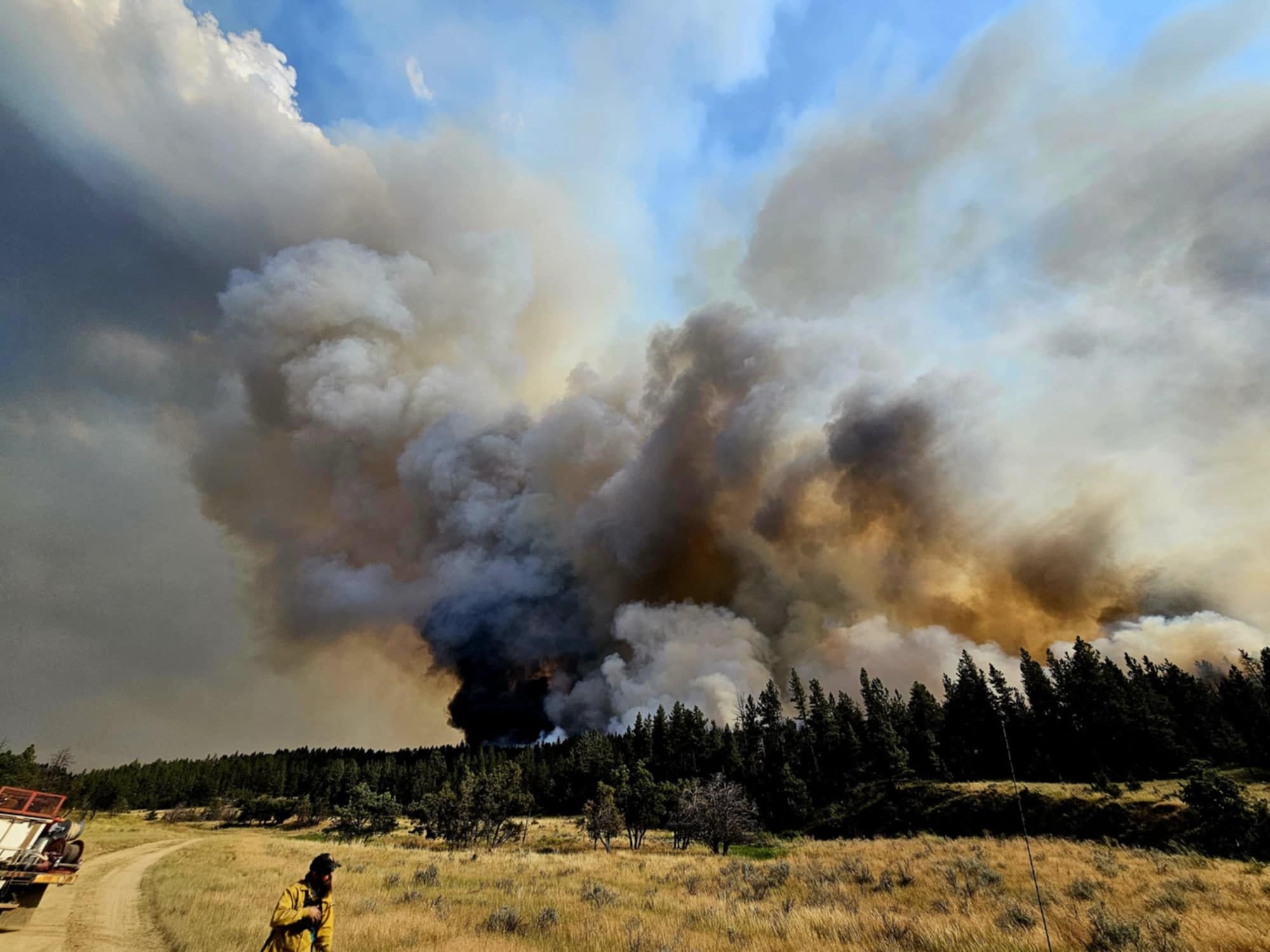
On the McGhee Fire, helicopters and air tankers assisted with water and retardant drops when heavy vegetation, wind, and terrain aligned to increase fire behavior in the afternoon and evening. The fire pushed south of Wall Creek Road. Two Hotshot crews and other resources worked Tuesday night to conduct burnouts north of Lacey Gulch Road and west of Hanging Woman Creek to try to tie it into the northeastern edge of the Deadman Fire.
On the west side of the Deadman Fire, a smokejumper module conducted burnout operations to bring the fire down into the Tongue River corridor where it can be secured. An Unmanned Aerial System (drone) was used Tuesday night to continue with small burnout operations.
Current status
Crews will hold and secure the eastern McGhee fire lines on July 17, and continue with burnouts on the south and east as weather conditions allow. Fire managers will also determine how to tie lines together from the west side down into the south portion, avoiding the Battle Butte Area of Critical Environmental Concern as fire will be less detrimental to this area than suppression efforts.
On Deadman, crews will continue to conduct small burnouts on the west side to bring the fire down to the river.
On the Four Mile Fire, firefighters are cooling the remaining hot spots and patrolling the edges. The Prairie Fire is showing little heat and is being monitored.
Weather and behavior
Winds are predicted to have a north-easterly component today, which could help reduce fire spread to the east. Weather remains hot and dry today, with a slight chance of precipitation on Thursday. Active fire behavior and group torching is expected, especially as fire reaches stringers of timber and heavy pockets of older juniper trees.
Closures and special messages
In Big Horn County, an evacuation warning is in place for residents from the intersection of Dale Creek Road and East Fork Canyon Road, east to the county line; from the intersection of Dale Creek Road and East Fork Canyon Road south to the intersection of Birney Road and Highway 314; from the intersection of Highway 314 and Birney Road east to the county line.
In Rosebud County, an evacuation warning is in place for residents along the Tongue River Road from the Tongue River Bridge at Wall Creek to the southern Rosebud County line.
Specific closure information and maps on the Big Horn County Facebook Page and the Rosebud County Disaster And Emergency Services Page.

