News
News Articles
Video Archive
Weather
Events
Community Calendar
Promote Your Event
Radio
Public Pulse
KROE in the morning
Swap Shop
Online Radio Stations
Sports
Sports News
Video on demand
Obituaries
Classifieds
Swap Shop
Add Garage Sale
View Garage Sales
Add New Classified
View Classifieds
Contests
Photos & Video
Featured Photos
Local Podcasts
Video on demand
Sheridan Media TV | LIVE
Quick Links
Advertise / Contact Us
Online Bill Pay
Country Bounty
Police Reports
Sheriff Reports
Swap Shop
Garage Sales
Connect with us
Sheridan Media
News
News Articles
Video Archive
Weather
Events
Community Calendar
Promote Your Event
Radio
Public Pulse
KROE in the morning
Swap Shop
Online Radio Stations
Sports
Sports News
Video on demand
Obituaries
Classifieds
Swap Shop
Add Garage Sale
View Garage Sales
Add New Classified
View Classifieds
Contests
Photos & Video
Featured Photos
Local Podcasts
Video on demand
Sheridan Media TV | LIVE
Quick Links
Advertise / Contact Us
Online Bill Pay
Country Bounty
Police Reports
Sheriff Reports
Swap Shop
Garage Sales
Weather
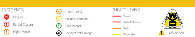
ROAD AND TRAVEL REPORT