News
Yellowstone NP Flooding Was Caused By A Sequence Of Events

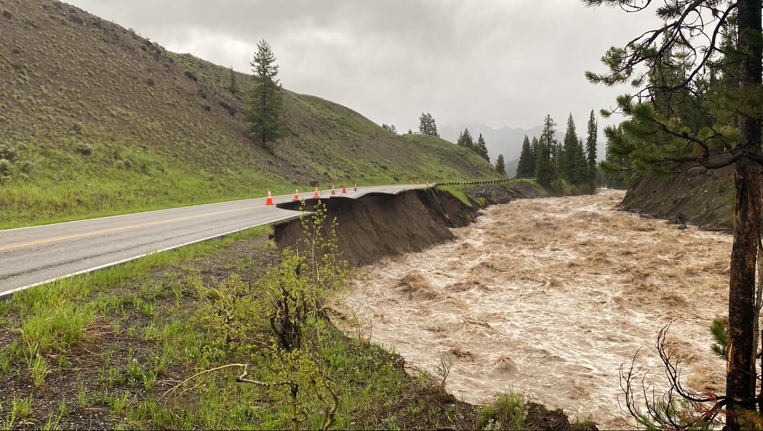
One Wyoming meteorologist says the floods that devastated the northern areas of Yellowstone National Park and beyond were months in the making.
Day Weather Meteorologist Don Day from Cheyenne says the floods were caused by a combination of events.
After the region received its snowpack for the winter, the spring warm-up happened later than normal.
As a result, the cooler spring temperatures slowed the snowmelt, and a few spring snowstorms increased the snowpack.
Heavy wet snowfall from the Memorial Day weekend piled on even more and then the warm-up arrived about one week ago, causing the snowmelt to accelerate.
The rainfall from multiple storms this past weekend was warm enough to further accelerate the snowmelt, and it ended up being more than what various rivers and streams could handle.
Day says the way that the rain storms moved this past weekend, is a weather phenomenon called training.
“We had a pattern where showers and thunderstorms would form, and move across Yellowstone Park through southwest Montana, and then the next ones that would form, would form right behind them, so basically it kept raining in the same areas over and over again. It was the perfect set-up.”
The National Weather Service in Riverton is predicting a 60% chance of rain in the park region, as well as snowfall in the higher elevations, for this coming Sunday and Monday (June 19th and 20th).

