community-alert
Two Changes to Evacuation Map for the Elk Fire
Two Changes to Evacuation Map for the Elk Fire
For Immediate Release: October 12, 2024 12:00 p.m.
Contact: Sheridan County Sheriff’s Office
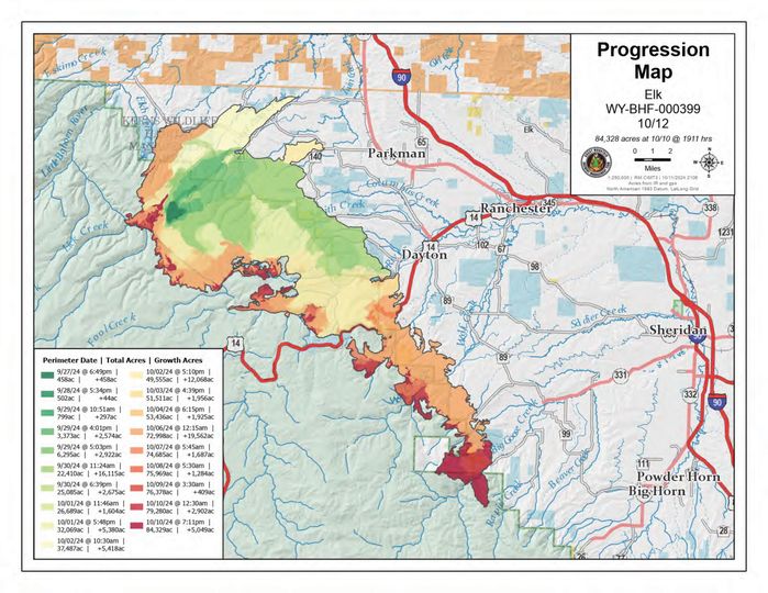
The Sheridan County Sheriff’s Office and Incident Command are working closely together to reevaluate the evacuation status levels for the areas in proximity to the Elk Fire. Here is today’s update.
The following area is now being upgraded to a “Go” status:
Rapid Creek area- the area west at the end of Bear Gulch Road to Bear Gulch Trail moving Southwest to the forest service boundary, this includes the Rapid Creek Ranch.
Landowners within this updated “Go” status have been notified. There will be heavy law enforcement presence in this area.
The following area is now being upgraded to a “Ready” status:
The area West of Highway 335 at the intersections of Beaver Creek Road and Brinton Road to the Hidden Valley Road then moving Northwest to Bear Gulch Trail intersection with Big Horn Road East to the intersection Beaver Creek and Big Horn Roads. This includes everything West and South of Beaver Creek Road.
Officials will continue to monitor fire behavior and assess the need to change any evacuation levels.
There have been no changes to the current road closures.
We encourage everyone to monitor the Sheridan County Facebook page and the Sheridan County website for the most up-to-date information.
Thank you for your cooperation as we work to ensure the safety of all residents.
Sheridan County Emergency Management
Phone: 307-752-2174